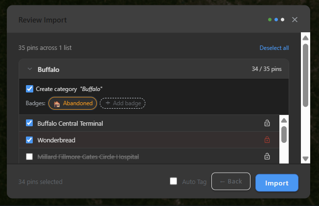
We support Google Maps lists, Google My Maps, and Google Earth.
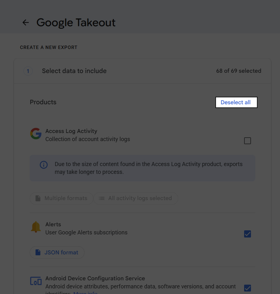
- Go to Google Takeout.
- Click "Deselect All"
- Check any of the following sections you want to import:
- Google Earth
- Maps
- Maps (your places)
- My Maps
- My Activity - for driving-directions history, open its options and set the Maps output format to HTML (the only format we can read for this section)
- Saved
- Street View
- Timeline
- Click "Next Step"
- Google will email you when the download is ready.
- Upload the exported file to UrbanLens.
Tip: You will have a chance to choose which pins to import.
Note: Google only supports exporting data via Google Takeout; there's nothing we can do to make this process easier.
My Activity imports differently: "Directions to X" entries aren't saved places, so they don't become pins automatically. A destination near one of your existing pins gets logged as a visit there; anything else shows up as a suggestion in your notifications for you to confirm or dismiss.
Multiplottr

- Login to Multiplottr.
- Click "Map Settings"
- Click "Download KML File"
- Upload the exported file to UrbanLens.
Tip: You will have a chance to choose which pins to import.
GPX apps and GPS devices
Gaia GPS, CalTopo, Garmin, AllTrails, Wikiloc, Geocaching.com, and similar tools commonly export GPX.
- Open the trip, route, or waypoint list you want to bring over.
- Look for an "Export," "Share," or "Download" option and choose the GPX format (sometimes listed as "GPS Exchange Format").
- Some apps only let you export one waypoint or track at a time - check for a "Export all" or "Export folder" option first.
- Upload the GPX file to UrbanLens.
Tip: Only waypoints (saved points of interest) become pins. Tracks and routes - the recorded breadcrumb trail of a hike or drive - are ignored, so importing a recording won't flood your map with hundreds of points.
GIS portals and open data
City, county, state, federal, university, and preservation datasets often export Shapefile, GeoJSON, CSV, or ZIP archives.
- Find the dataset's download or export panel.
- Prefer GeoJSON for point datasets. Use Shapefile or ZIP when GeoJSON is not offered.
- For CSV exports, make sure it has latitude and longitude columns - see the CSV spreadsheets section below for the exact column names we recognize.
OpenStreetMap / Overpass Turbo
- Build a query in Overpass Turbo.
- Export the results as GeoJSON for the cleanest import, or OSM XML if you need original OSM tags.
Technical details: For OSM XML, only nodes and ways that carry at least one
<tag> become pins - untagged geometry vertices are skipped. Ways are placed at the centroid of their member nodes. Relations (multipolygons, administrative boundaries) aren't imported.
CSV spreadsheets
CSV is the easiest path for Airtable, Google Sheets, Excel, personal notes, scraped lists, or manually curated research.
- Make sure your spreadsheet has a latitude column and a longitude column - see the required column names below.
- Add a name column so pins aren't imported as "Unnamed."
- A description-style column (see below) is optional but carries over as the pin's notes.
- Export the sheet as CSV and upload it to UrbanLens.
Required columns: One latitude column (
latitude or lat) and one longitude column (longitude, lng, lon, or long), with plain decimal values like 42.3601 and -71.0589. A CSV without both is skipped as unrecognized.
Technical details: Column names are matched case-insensitively. Name is read from the first match of
name, place, title, label, site_name, or namealt (falls back to "Unnamed"). Description is read from the first match of description, desc, comment, notes, note, or address. Exporting from Google Takeout instead? See the Google section above - Takeout's CSV format works too, using its own URL/Title/Note columns.
Supported import formats
KML / KMZGeoJSONGPX waypointsCSVShapefile ZIPWKT / WKBOSM XMLMy Activity (Maps)ZIP archives